Lostman's Star
Not all those who wander are lost, but I certainly am!
The Cup and Saucer Trail

In life, there are always places, things, or people who get certain names which make you wonder “How on earth did you earn that moniker?” Sometimes after a bit of research it seems evident. Other times, not so much. The Cup and Saucer Trail is the later.
The Anishinaabe who inhabit the area call this place Michigiwadinong, which means ‘bluff in the shape of a spearhead’. The story goes that Nanabozho, one of their great teachers (and mischief makers) was taunting some Mohawks further south, and fled up north as they chased him. He made himself a spear and turned to face them in the Mnidoo Mnising (Manitoulin Islands), when he lost his nerve, dropped the spear, and ran further. The bluffs are said to be what remains of his spear, the head having been separated from the shaft.
To me, this makes much more sense than a cup and saucer.
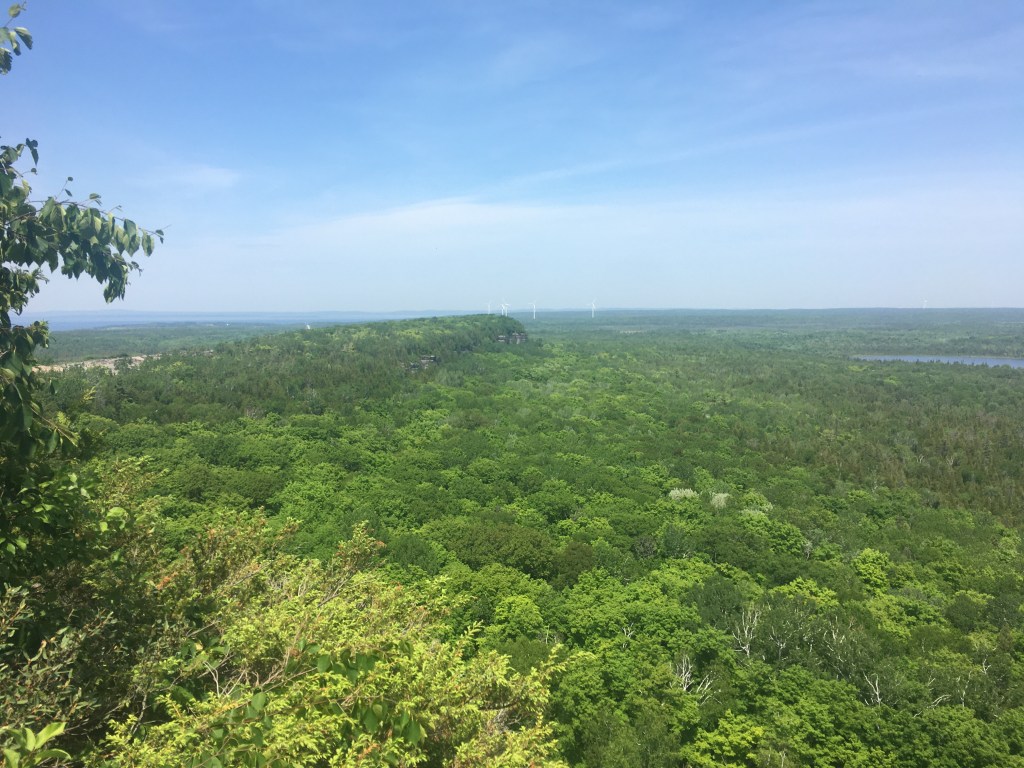
Above you can see the elevated spearhead, below you can see the ridge which forms the spear shaft. I happen to overhear another hiker say “These cliffs look like something out of Jumanji!”
You’re not wrong, my guy, you’re not wrong!

How anyone got a cup and saucer out of that I’ll never know, and as of yet no one has been able to point it out to me.
The red trail will lead you to the lookouts, and needless to say it is not wheelchair accessible, none of the trails are. For the most part the path is pretty well laid out and neat but there are some rocky portions and some require the ability to climb stairs which by their steepness are one degree away from being ladders.
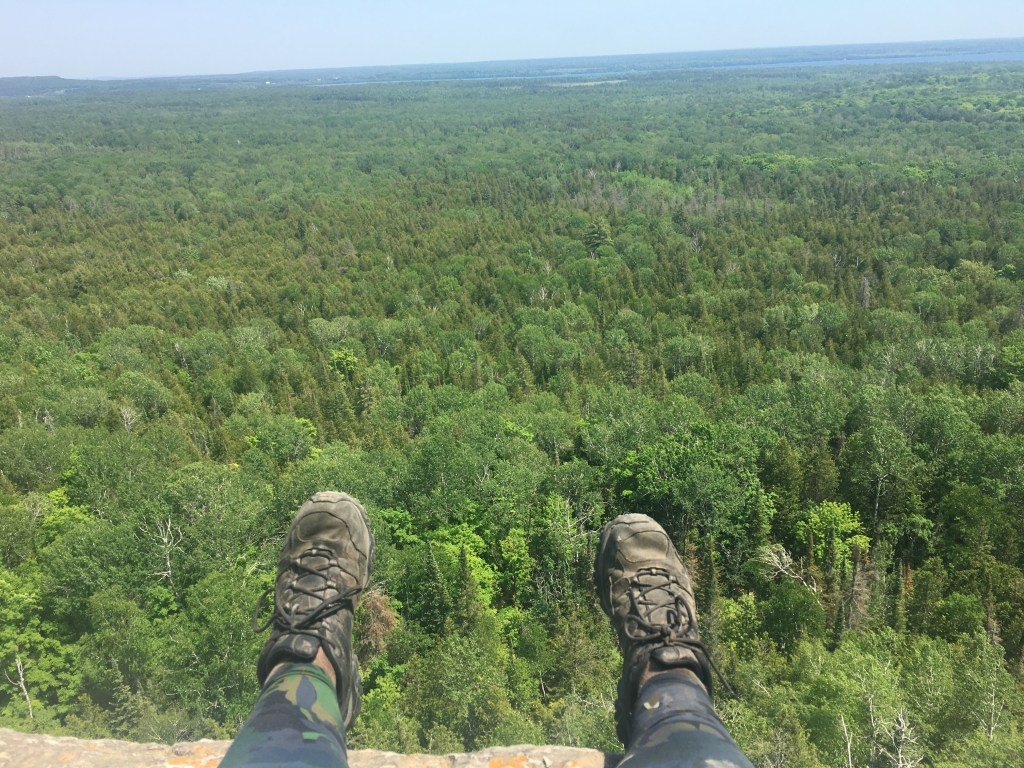
Said lookouts are well worth it though. Beware the edge, there’s no safety rails! Mama Lostman wasn’t terribly proud of this picture for that very reason.
The trail to these lookouts is about 5km, but as Mama Lostman and I will tell you, it feels a lot longer. I attribute this to having taken the so called yellow “Adventure Trail”, one of three marked routes that form the entirety of the Cup and Saucer trails. This yellow trail is 500m and runs adjascent to a portion of the Red Trail, and is filled with all sorts of rocky portions and caves to climb through, though there’s always a way around these. It’s really quite fun to go through them though!
If you want to help keep up the trail, there’s a pay-what-you-can sign where you can scan a q-code and pay via your phone. If you have a few cents to spare, I suggest you do so! I would also suggest that you not go during a day that it has rained. The rocks have been worn smooth by years of hikers on the trails, and are slippery enough as it is, rain and mud would make things infinitely worse.

Bring good walking shoes, at least two bottles of water per person, bug spray, and sunscreen. For the most part yellow and red trails are shady, but I’ve not accessed the much longer blue trail, so I can’t comment on how forested it is. Be prepared to be up there for at least three hours, so I suggest bringing a lunch or something similar. There are no picnic tables, but we brought chairs and set up a makeshift lunch spot in the wildlife observatory in the parking lot. Said lot also boasts surprisingly clean porto-potties in the parking lot which you can use before you head into the bush.
As with all hikes, remember to pack out all of your garbage, leave any animals alone, and of course obey the golden rule. Take nothing but pictures, leave nothing but footprints.
Wear a mask, wash your hands, and stay safe gentle reader.
